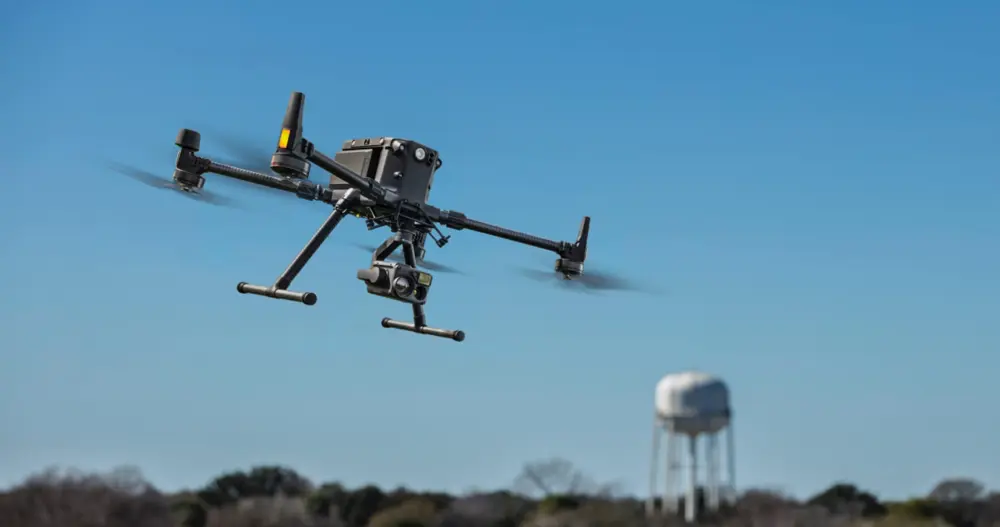
Key facts about the SFRS drone
- The drone is based at the Woodbridge Fire and Police station
- The drone provides a 24 hour, 7 day resilient emergency capability for operational air support
- All pilots are qualified with a General VLOS Certificate (GVC)
- Suffolk Fire and Rescue Service has a Operational Authorisation certificate, which is renewed annually
- Detailed records about all flights, all images and footage captured and all other information about the drone that is required by the CAA are maintained by the Chief Pilot
How the drone is used
The drone provides a range of aerial surveillance options to support the fire service and other emergency services, if requested, across a wide range of incidents, including:
- large-scale open fires or complex structural fires
- urban search and rescue
- major incident or disaster response
- investigative support
- hazardous materials response including Environmental Impact Assessments
- road traffic accident
- significant multi-agency events
- missing person searches, at the request of the police
- pre-planned operations and risk information gathering
The drone helps multi-agency responders make decisions about the best way to deal with an incident by improving the ability to see and understand what is happening from the air. This also helps to reduce risks to the public and emergency service workers.
Training and quality assurance
Pilots must regularly fly the drone to maintain their skills, so occasionally members of the public may see pilots operating drones in their communities for this purpose. Impact on privacy will always be minimised as a key consideration of flight planning, especially during training flights.
The drone must be tested regularly in a controlled environment to make sure any problems are found and avoid a serious operational or safety issue while being used at an emergency incident.
Drone flight restrictions
As part of the Permission for Commercial Operations, and also as responsible SUSA operators, SFRS Air Support Unit pilots will always ensure that the drone is flown:
- Within the line of sight of a remote pilot
- Below 120 metres (400 feet) in height
- At least 50 metres from people, property, vehicles and vessels the Pilot is not in control of.
- 30 metres away from people during take-off
- Clear of any aircraft, airports/airfields and other restricted areas
These form part of the Civil Aviation Authority's Drone Code. All responsible drone users will fly within these guidelines. As an Emergency Service Drone operator certain exemptions to relax these guidelines slightly are allowed (subject to Risk Assessment and command authorisation) for life-saving operations or to avert a major disaster.
Drone cameras
The drone camera has the capability of:
- image photography and video recording
- thermal imaging camera that detects heat and identifies temperatures
A detailed Data Privacy Impact Assessment means that when flying:
- The drone will only capture photographic images or video footage if there is a clearly identified organisational requirement
- Any image or video that is captured is reviewed and either destroyed if not required, or put into a robust digital storage system, which is covered by a data retention policy